
Capture Accurate Progressive Data
The implementation of our technology is currently undergoing a major uptake in popularity as the commercial world continues to determine applications for UAVs to collect valuable data. Data continues to be one of the most powerful tools at your disposal. The technology of Infinite Jib™ provides you with a reliable, efficient and accurate collection method.
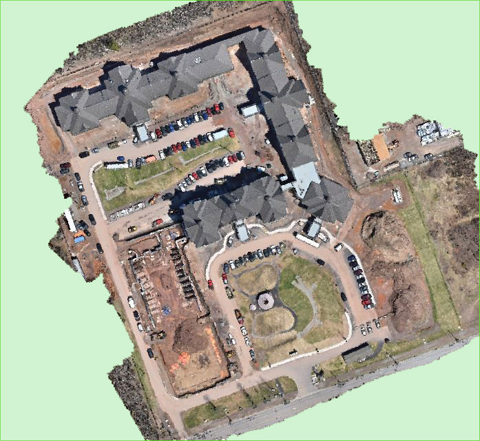
3-D site models can be created by combining hundreds of overhead high quality photographs with accurate GPS data using a range of popular post processing software products. These models can be used to conduct frequent project progress assessments, inspect areas that are hazardous for humans, measure the sheer volume of materials and even find opportunities for more efficient workflows.
The accuracy of a measure can save time and move your project one step closer to meeting scheduled deadlines, reduce costs and increase profitability.
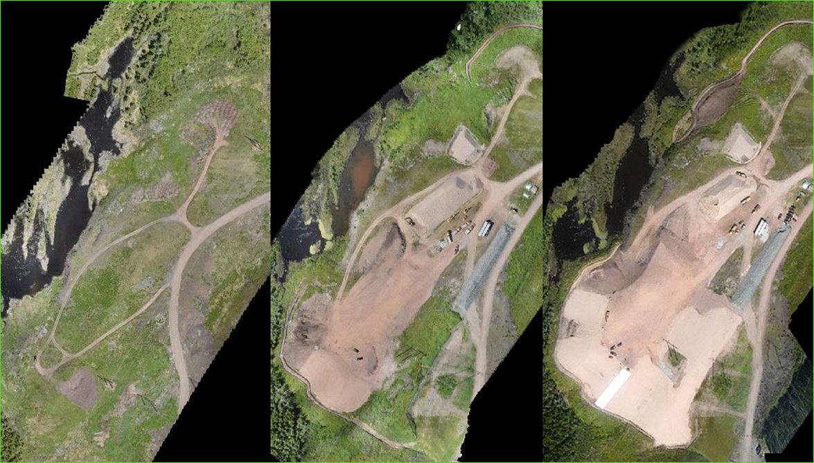
Landfill Site June 2016
Landfill Site August 5, 2016
Landfill Site August 31, 2016
Reduce Time
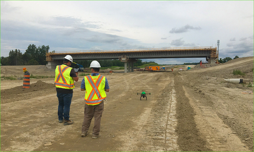
Capable of surveying up to 1 sq. km per flight or alternatively capturing sub-centimeter profile precision using accurate ground control points, our clients are reducing the time that was previously invested in conducting traditional surveys. For comparison, a subdivision developer may expect at least a week of field work followed by an additional 2 to 4 days before the final product could be realized. With our UAV technology, crews are completing projects in a fraction of the time it traditionally required.
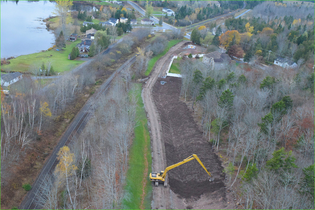
Urban or Rural Sites
Approved by Transport Canada, our compliant aircraft gives you with a dynamic scope of usefulness that you can advantage to complete your projects. From community design and development to site assessment and remediation, our systems operate effectively in both confined urban spaces to large rural landscapes.
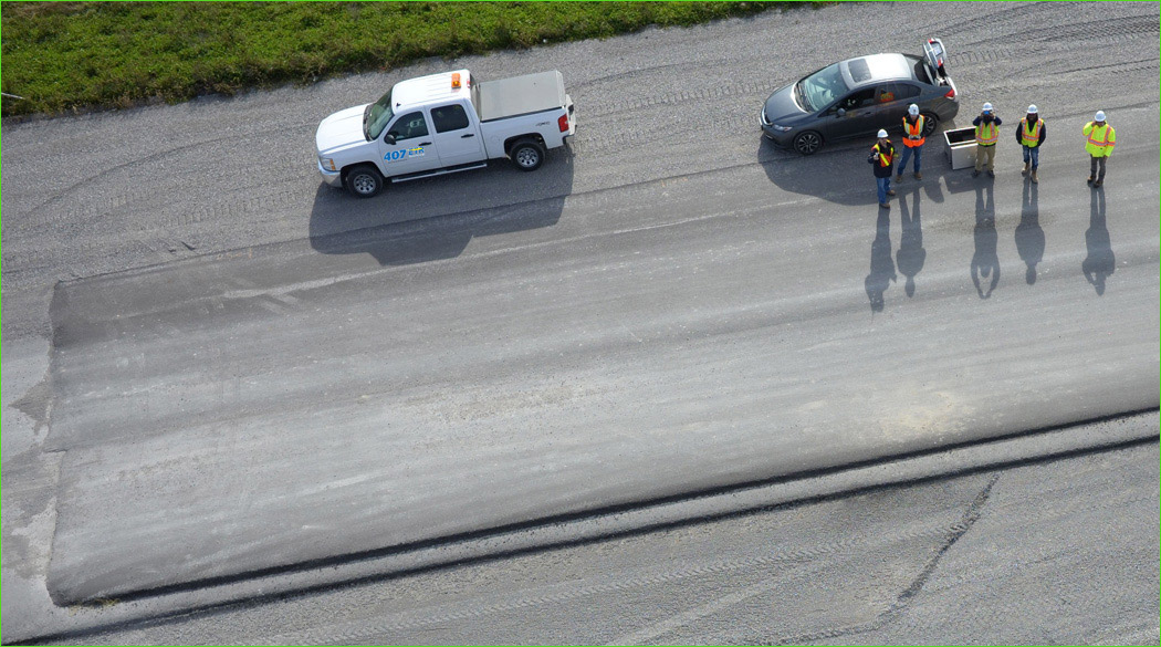
Increase Jobsite Safety
Major industries continue to work diligently addressing the complex issues of health, safety and environment (HSE), yet it remains one of the top priorities in local, regional and global organizations. Improved health and safety standards help companies become more effective to finish projects on time and improve their business profile with customers and clients. When there is a need to capture information of a remote or hazardous area, companies are increasingly turning to our UAV technology to reduce risks and prevent job site accidents.
According to the Occupational, Safety and Health Association estimates, in North American alone, workplace injuries and illnesses cost employers billions per week in worker’s compensation without factoring in the additional costs that result from lost productivity, staffing replacements and repairs to damaged equipment. Our systems are being used to perform inspections in a safer manner, identify potential hazards before they become costly and dangerous; thus improving the safety at industrial worksites.
Infinite Jib™ aircraft perform real-time, remote inspections and reduce the need for your crews to be in potentially dangerous areas.
Sustainability
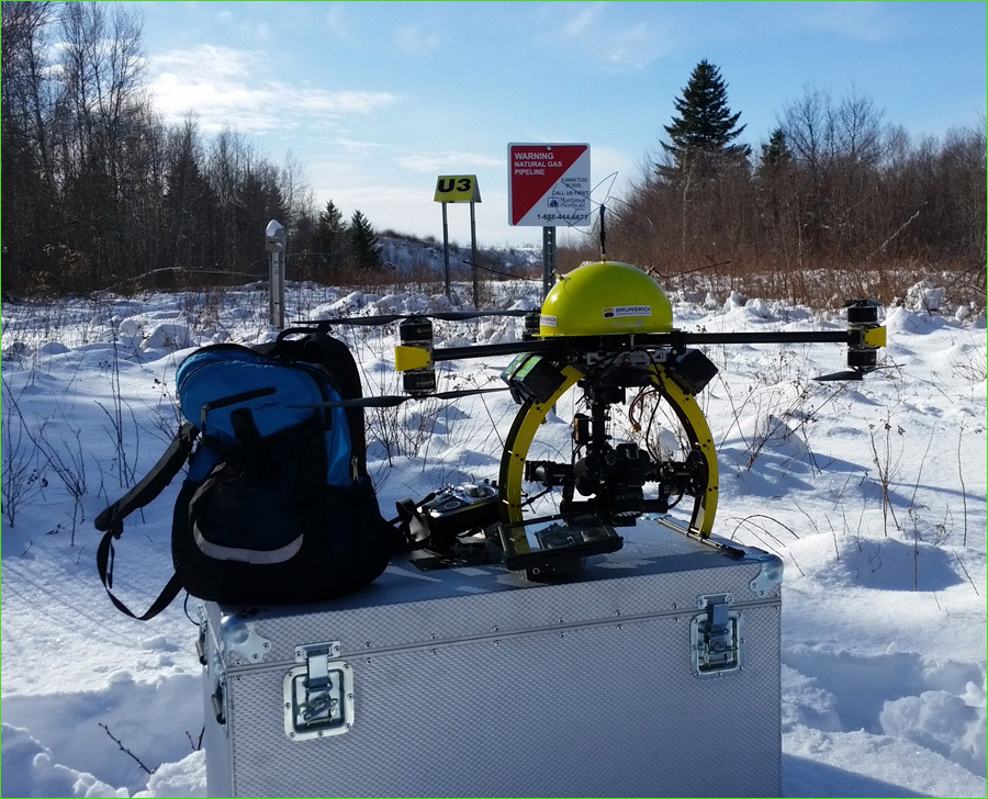
With the complexities of achieving sustainable objectives, our “green” UAV technology leaves no environmental footprint while it is accessing data from remote, sensitive and challenging locations.


Recommended UAV Systems:
• Surveyor 630 Photogrammetry UAS Solution
• Orion 700 Thermal / Photogrammetry UAS Solution
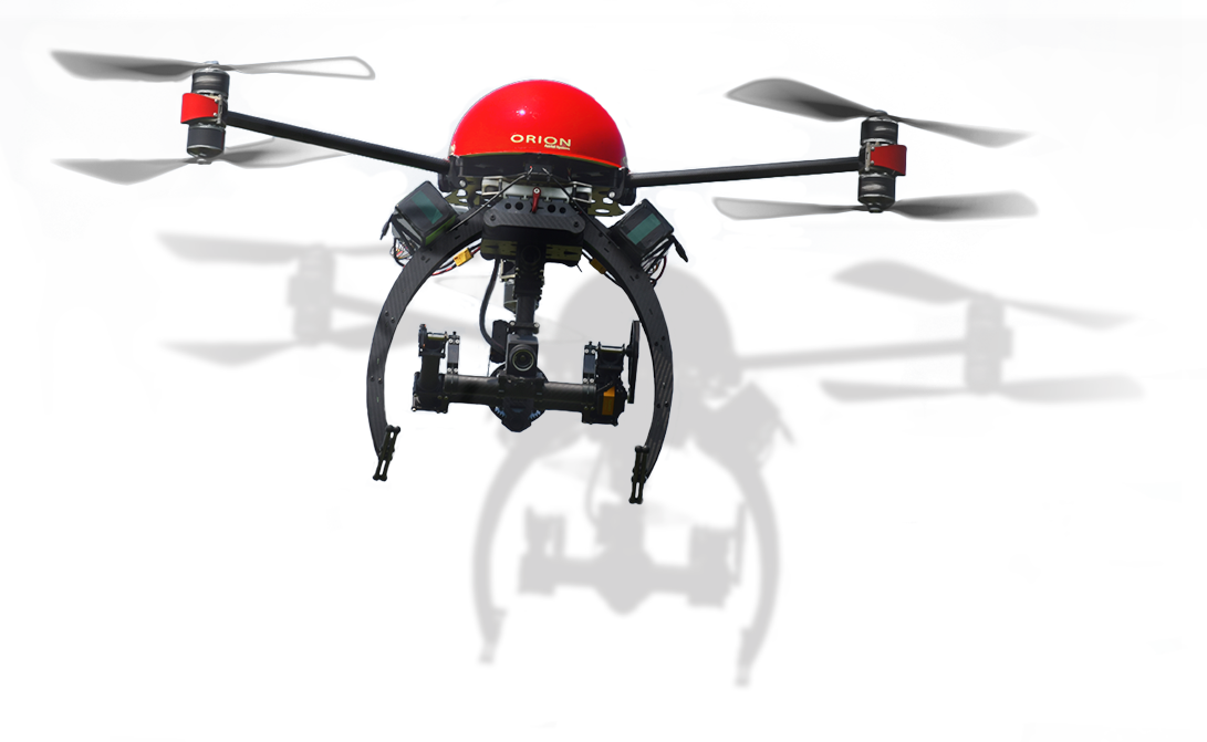
• Nexus 800 LiDAR / Photogrammetry UAS Solution

INTELLIGENT REMOTE SENSING INDUSTRIAL UAV SYSTEMS