
A Tool for Mining Life Cycles
Exploration, Planning/Permitting, Mining Operations and Reclamation.
Increase Efficiencies
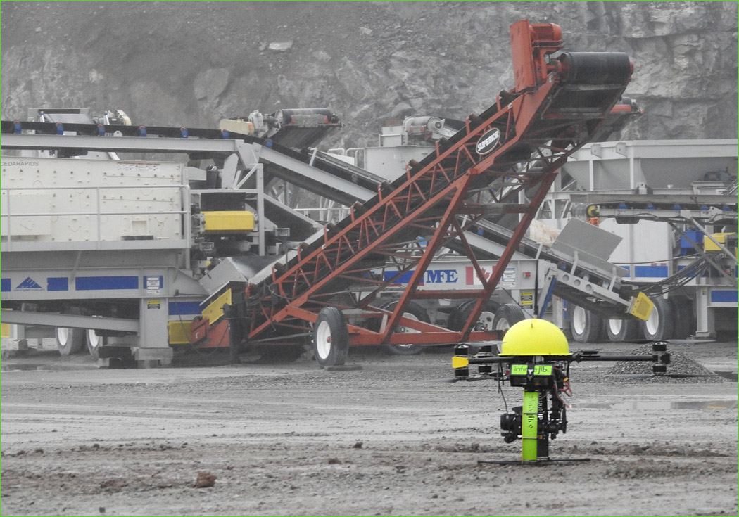
Stockpile volumetrics is a widely used application of UAV technology in the mining sector. Having volumetric surveys completed at regular intervals provides an accurate measurement of the amount of material that has been moved in that time. Historically ground surveyors have conducted stockpile measurements with GPS rovers. Today, this work can be accomplished with your UAS and eliminate the need for crews to work in potentially dangerous situations.
Safer, faster and access to accurate information.
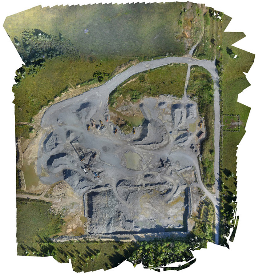
Courtesy: Rugged Geomatics, Kenora, Ontario
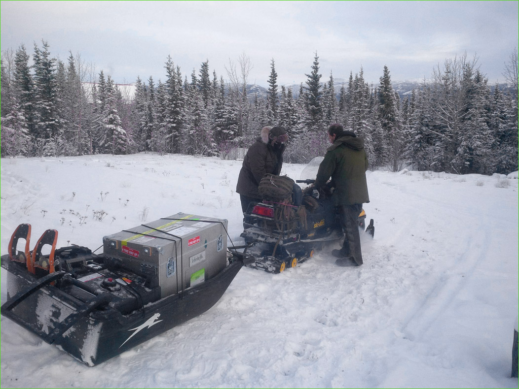
Courtesy: Pioneer Explorations, Saskatoon, Saskatchewan
Mineral properties are often in remote areas where maps are either non-existent or of poor resolution. In early stage exploration it is beneficial to have a quick overview of the prospect area. In the past a conventional aerial photography company would have acquired this; however the price was large and as a result aerial mapping surveys would often not be conducted until later stages of exploration.
Today our UAVs are used to complete this work in less time and provide higher data quality. You can map an area in high resolution in less than a day, usually a couple of hours. The Surveyor 630 DSLR cameras have the advantage of producing unparalleled image resolution to that of a conventional aerial survey.
In addition to aerial imagery you can produce accurate topographical maps and GIS data in remote areas. Surveyors previously produced topographical mapping with an RTK/GPS rover. You would have to pay a survey crew to walk the entire property and collecting only a few specific survey locations.
The combination of low cost aerial imagery and terrain data, used with a range of post processing software tools, gives the modern explorer the means to create a close up view of any property in 3D. Having this capability in early stage exploration aids significantly in project planning.
Reclamation
During reclamation it is required to show before and after imagery to prove that a mining company is upholding their obligations. Accurate data acquired by UAVs is being utilized to return the terrain of a mine as close as possible to its original state. Additionally, periodic surveys can show the progress as an ecosystem returns to its pre-mining conditions.
Safer Jobsites
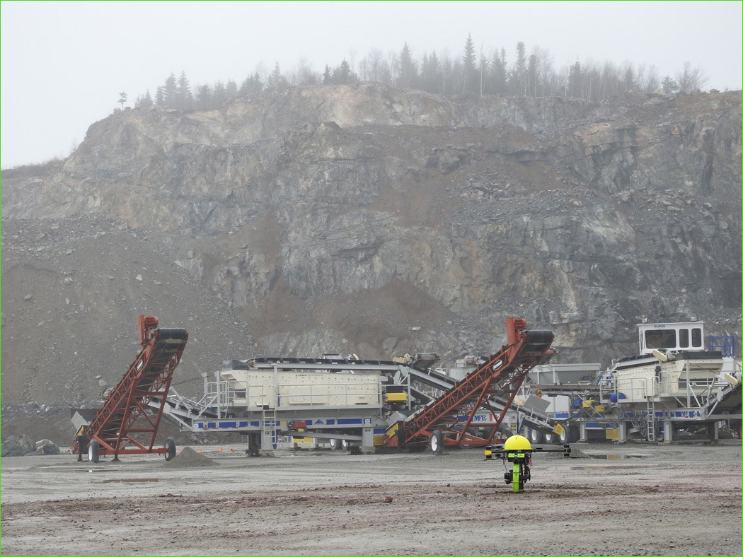
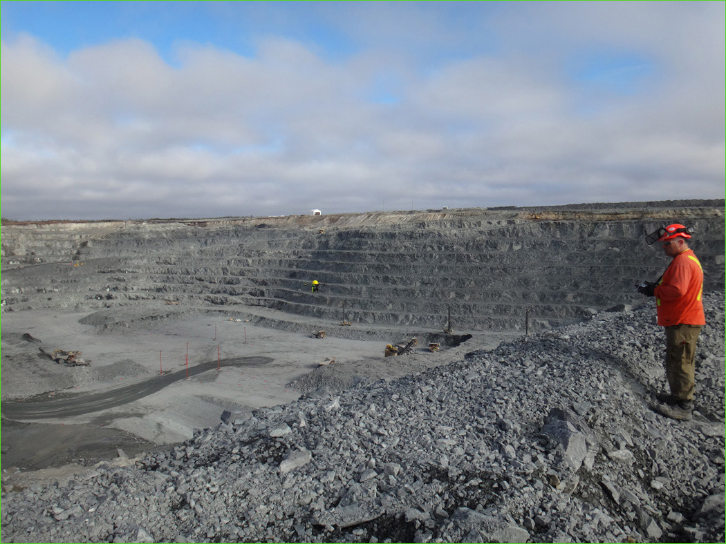
Major industries continue to work diligently addressing the complex issues of health, safety and environment (HSE), yet it remains one of the top priorities in local, regional and global organizations. Improved health and safety standards help companies become more effective to finish projects on time and improve their business profile with customers and clients. When there is a need to capture information of a remote or hazardous area, companies are increasingly turning to our UAV technology to reduce risks and prevent job site accidents.
According to the Occupational, Safety and Health Association estimates, in North American alone, workplace injuries and illnesses cost employers billions per week in worker’s compensation without factoring in the additional costs that result from lost productivity, staffing replacements and repairs to damaged equipment. Our systems are being used to perform inspections in a safer manner, identify potential hazards before they become costly and dangerous; thus improving the safety at industrial worksites.
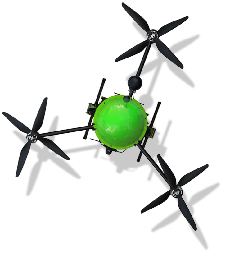
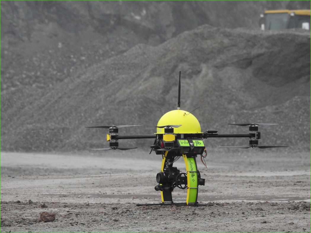
Infinite Jib™ aircraft perform real-time, remote inspections and reduce the need for your crews to be in potentially dangerous areas.

Recommended UAV Systems:
• Surveyor 630 Photogrammetry UAS Solution
• Orion 700 Thermal / Photogrammetry UAS Solution
• Nexus 800 LiDAR / Photogrammetry UAS Solution


Recommended UAV Systems:
• Surveyor 630 Photogrammetry UAS Solution
• Orion 700 Thermal / Photogrammetry UAS Solution
• Nexus 800 LiDAR / Photogrammetry UAS Solution

INTELLIGENT REMOTE SENSING INDUSTRIAL UAV SYSTEMS